Current Projects
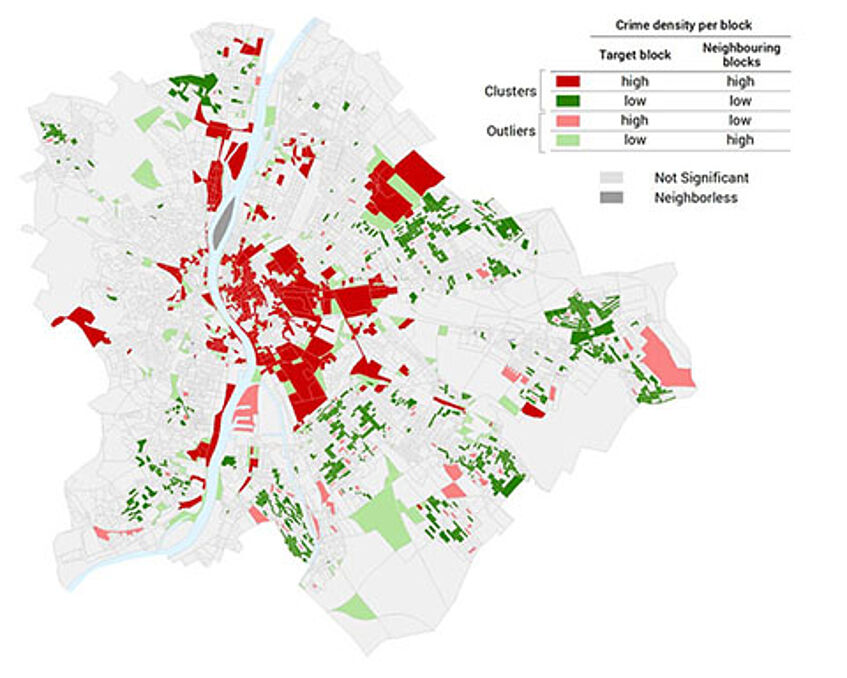
Mapping and Modelling the Crime Perception Gap
Duration: 2023 - 2026, FWF - Joint Project Austria & Hungary
People’s perception of crime risk does not always coincide with the actual situation. This disparity is known as the crime perception gap and may have repercussions on people’s lifestyles, social behavior, and spatial and economic dynamic. Narrowing this gap is needed to improve people’s quality of life. Further research could delineate where the gap exists in space and relate it with multivariate datasets to ease the decision-making in the design of targeted strategies. This project intends to quantify the “gap” and also provide levels of accuracy in space. The spatial components that may relate to and affect perception are examined as spatial covariates to crime risk perception and compared to other well-known covariates. We study two urban areas in Austria and in Hungary to examine if perceptual findings are bounded to cultural settings. Our technological tools are a Sketch Mapping UI as a survey tool that merges a traditional questionnaire approach with digital mental maps and a GVA UI to interactively visualize and reason our findings.
Research Directions
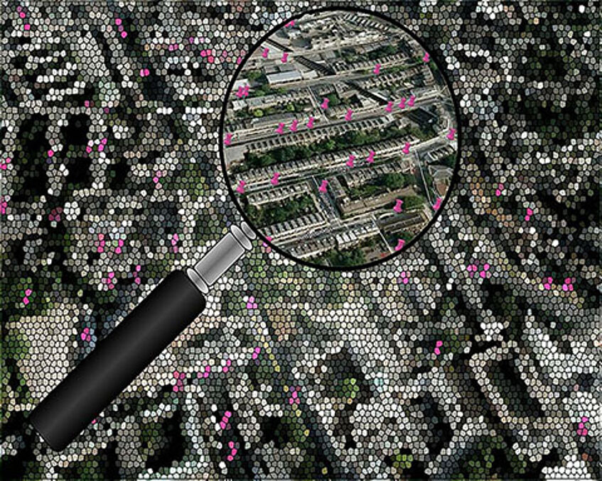
Location Privacy: practices, guidelines, and algorithms for the protection of personal geodata.
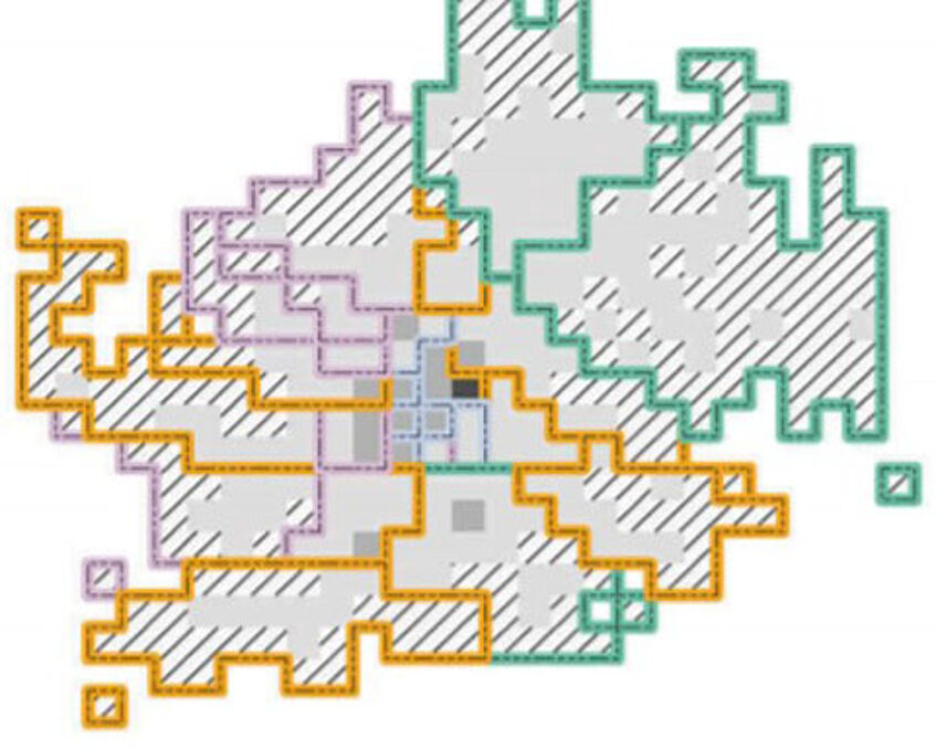
Dynamic Population Models: based on areal interpolation techniques and geosocial media data
Geocomputation: extending traditional modelling algorithms to acknowledge spatial dependence & heterogeneity
Urban Safety: understand and model the realities and perceptions of safety using geosocial media data, PPGIS, and sketch maps (related fields: Fear of Crime, Crime Perception Gap).
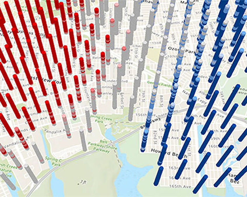
Spatial Crime Analysis: forecasting crime events in space using spatial, statistical, and machine learning algorithms
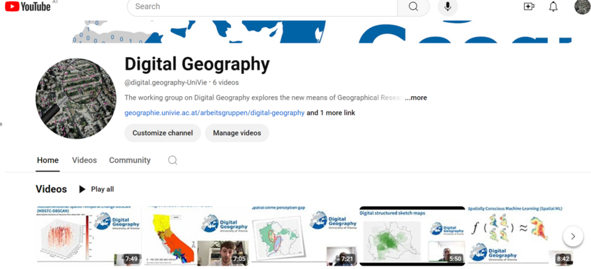
Digital Geography - YouTube Channel