Project Loess-Paleosol-Map of Lower Austria
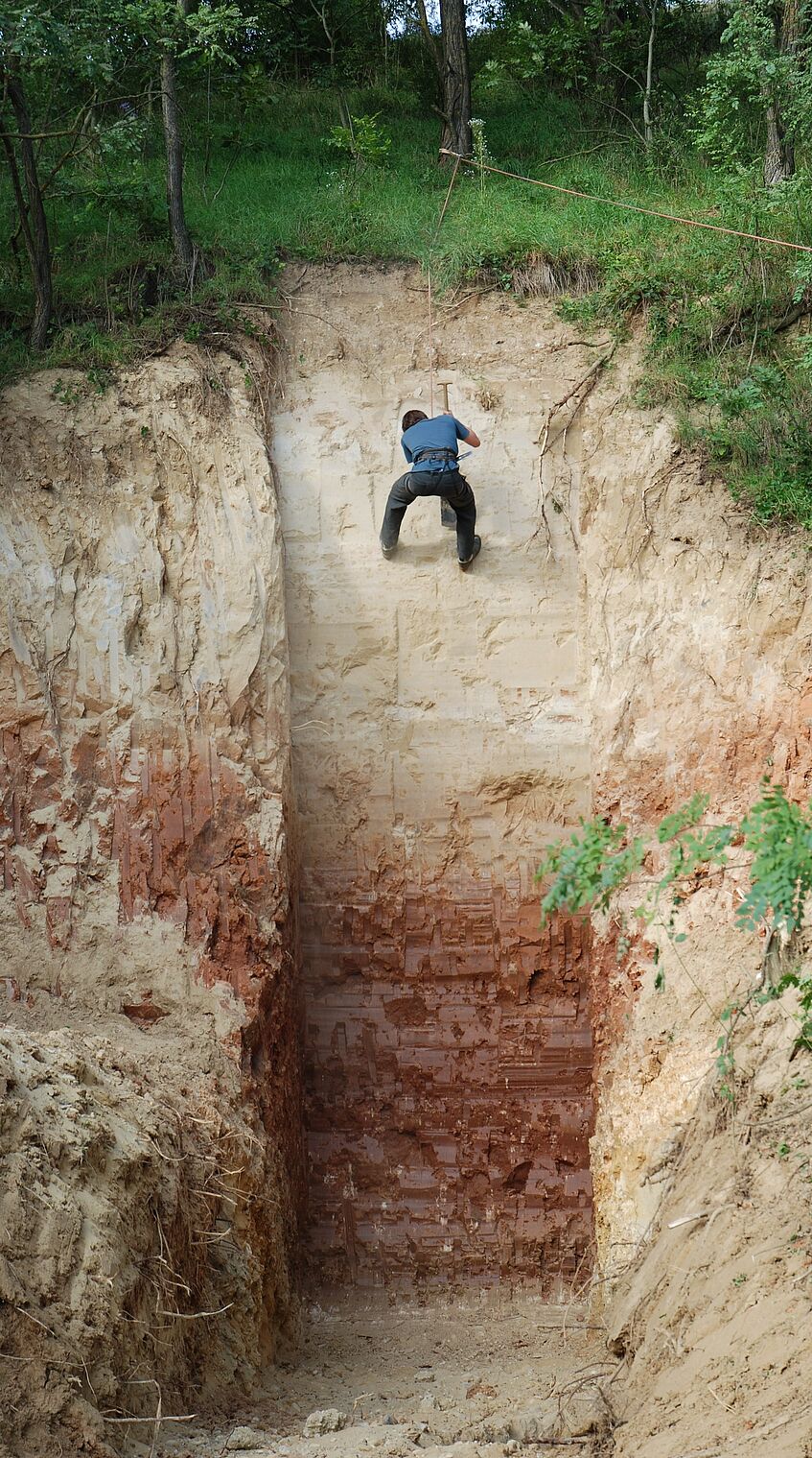
Some of the world's most important loess-paleosol sequences (LPS) are found in Lower Austria. Quaternary geological information is permanently stored in these profiles, which allows statements to be made about the historical landscape development of Lower Austria - and further for Central Europe. These "hard disks of nature" are manly the profiles of Willendorf, Stranzendorf, Krems and Stillfried. All these sites have in common that they are repeatedly focussed in recent scientific publications on international, national and local level.
In this project of the Lower Austrian government the distribution of the different loess types of Lower Austria and their included paleosols will be presented in a digital map. The data will be stored in a geo-information system and will be able to be continuously supplemented and adapted for different uses.
(Text by Regina Fleischanderl)
Funded by: Government of Lower Austria
Project leader: Ass.-Prof. Mag. Dr. Robert Peticzka
Project stuff: Mag. Regina Fleischanderl
Project period: 01.01.2021 - 30.09.2021

The LPS Stranzendorf with a thick 'tropical' palaeo soil (c) Robert Peticzka
